Starting location: Moored at Midland Harbour Town Docks, Midland, Ontario, Canada.
Weather: 66 am, 74 pm, sunny – Sunday 7/21. 54 am, 78 pm, sunny – Monday 7/22. 58 am, 75 pm, partly cloudy – Tuesday 7/23. 55 am, 74 pm – drizzle am then cloudy – Wednesday 7/24. 59 am, 72 pm, mostly sunny – Thursday 7/25
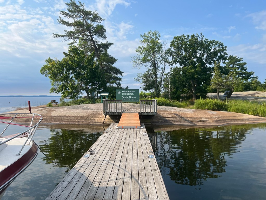
Ending location: Beausoleil Island State Park Docks (Thumb Point, Oaks, Frying Pan Bay), with an overnight stopover in Honey Harbour to provision on 7/24.
Statute miles: 8, then 3, then 6, then 4
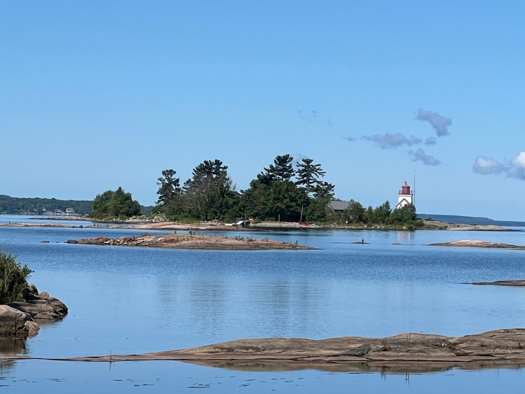
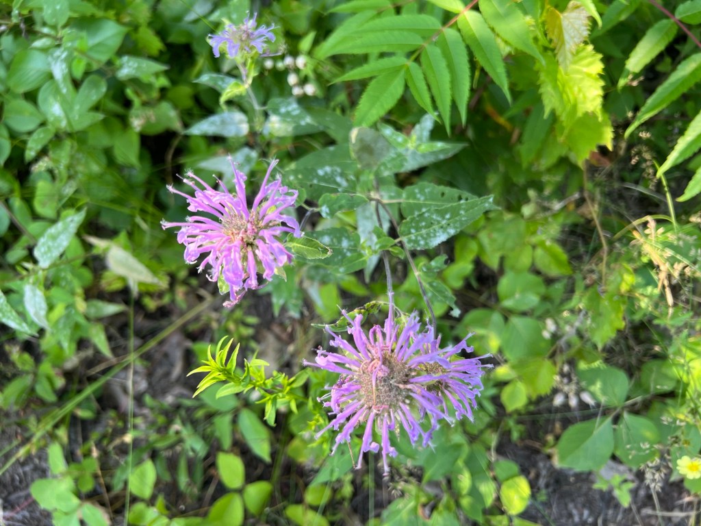
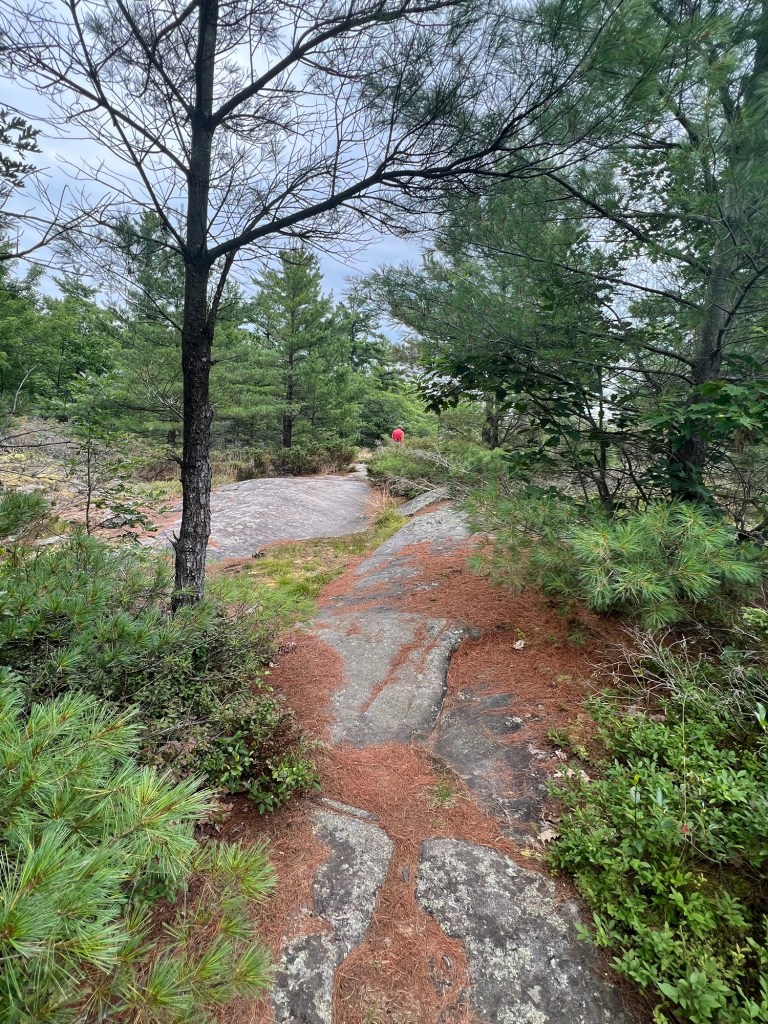
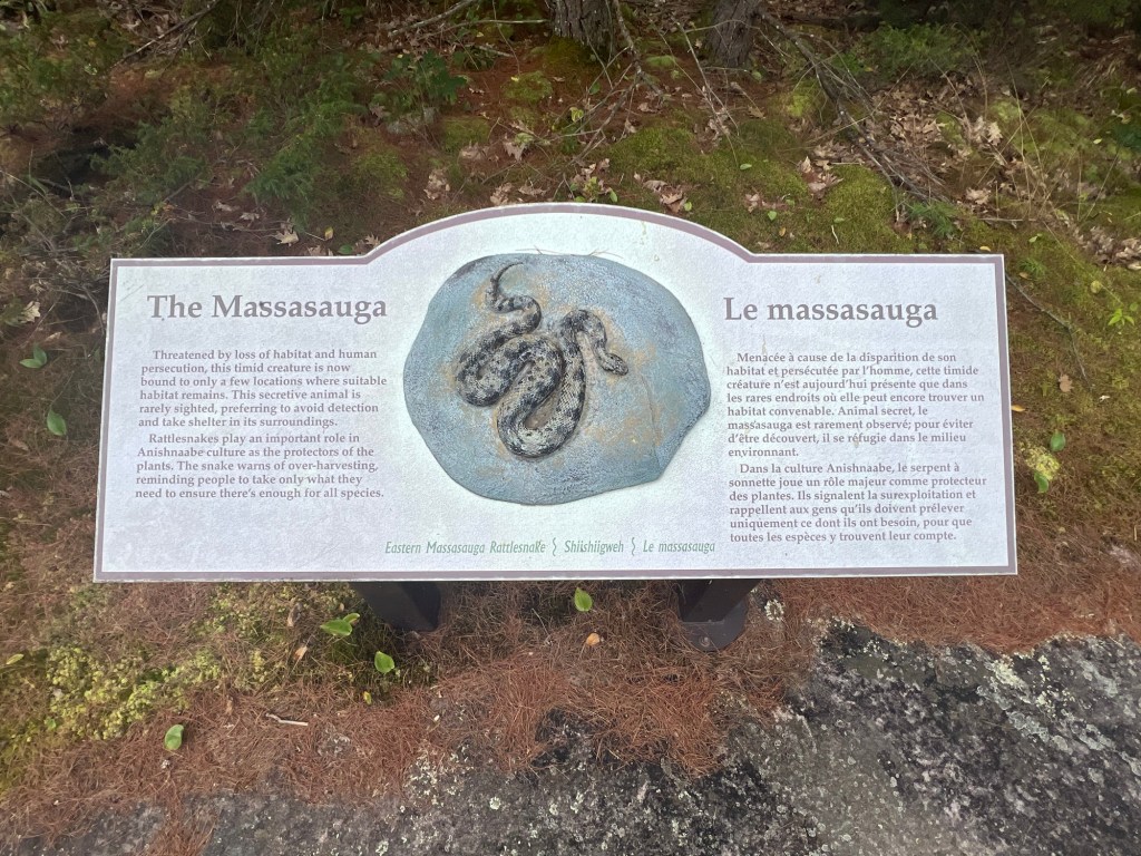
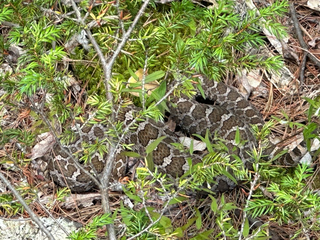
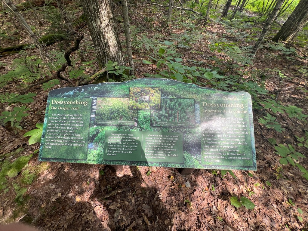
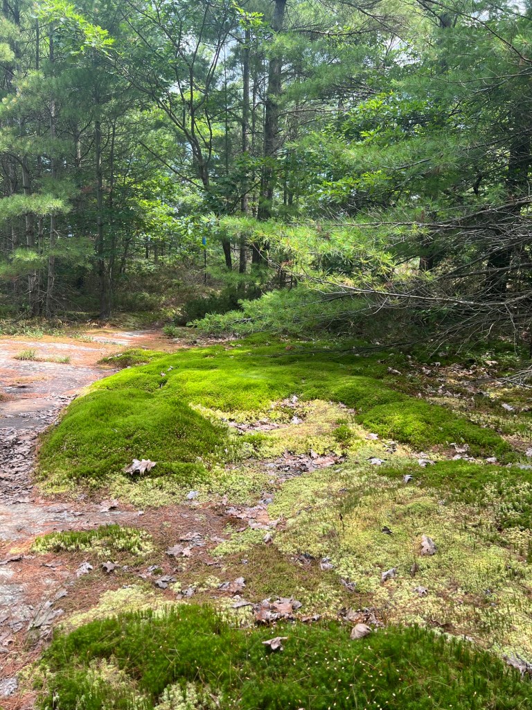
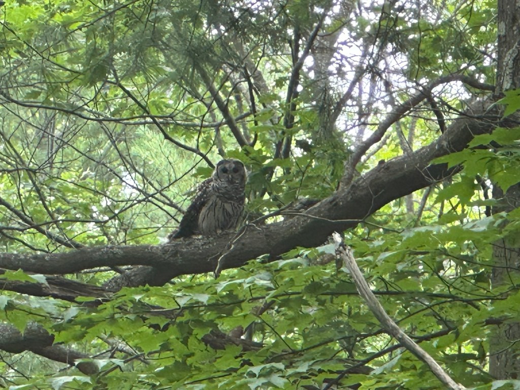
General summary: Our next destination was Beausoleil Island. It is the last Parks Canada-supported area that has public docks covered by our mooring pass. Also a logical close stop just West of the end of the Trent-Severn Waterway and North of Midland. We spent two nights on the rocky Southern end at Thumb Point exploring the Huron trail (very swampy and full of mosquitoes) and Georgian trail (more rocky and windswept, with few bugs) on day one. On the second day, we hiked the middle section to a lighthouse and back, erroneously traipsing through a private YMCA camp. We thought we’d have to spend the next night at a marina to charge our batteries, but a taxi boat delivering a camper from Honey Harbor gave us free bags of ice (an advertisement effort for Maple Leaf associated marinas), so we were able to put our food into the cooler and turn off the refrigerator, then motor to Oaks dock and spend the night without draining them too much. On the fourth day, we did motor to Honey Harbour to stay at the Bluewater Lodge and Marina to power and provision. Was rainy and windy anyway, so a good day to be moored. On the fifth day we got our first taste of the “small craft channel” (at times super narrow and tortuous between rock outcroppings, but well explored and marked with reasonable safe dephths) to reach the North end of the island, which was much more forested. Also got to meet the namesake of the Massasauga trail, the local rattlesnake, as well as an observant owl.


Leave a reply to hiouchi Cancel reply