Beginning location: Old Point Comfort Marina, Fort Monroe, VA.
Weather: 58 am, 75 pm, sunny
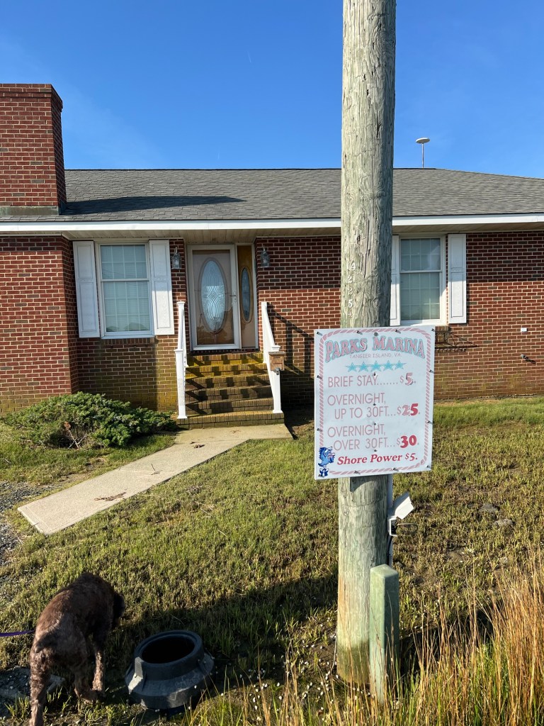
Ending location: Parks Marina, Tangier Island, VA.
Statute miles: Approximately 75
General summary: We did a lot of research trying to figure out where to go next. There is a delicate balancing act considering interest for an urban stop (marina, museums, restaurants, socializing, provisioning) vs rural (anchorage, hiking, scenery, isolation), weather forecast with desire to move on vs staying put and risk of getting stuck, feeling overwhelmed with activities vs fear-of-missing-out. We also need places where we can have shore access for our dog. We looked for places in Mobjack Bay and the Rappahannock River and decided (balancing all the above factors) to motor further North and East to Tangier Island.
This island is in the middle of the Bay with no road access. It is slowly being overtaken by rising waters (some say Global Warming, which the residents of this town apparently scoff at) and will likely no longer exist in the next 50-100 years. This was evident as we came on land after docking at the Marina. The house at the end of the pier had a very soggy front yard. Gotta visit while you can.


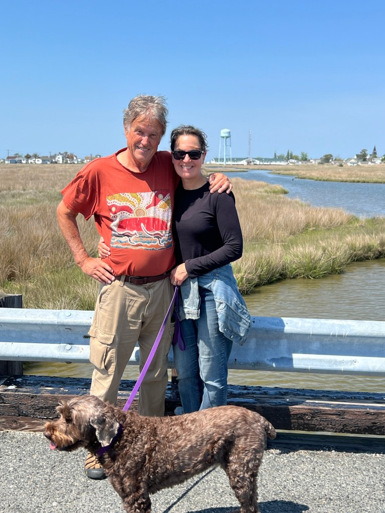
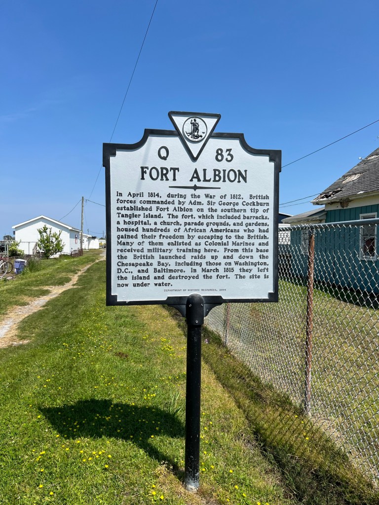
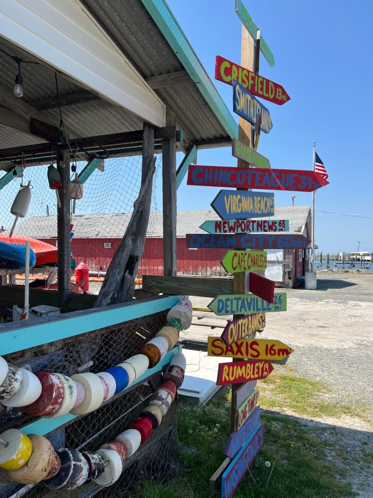
We walked about town, basically one main street with a few side ones. Lots of signage about town history. Heavily connected with the Methodist Church. People were generally friendly. Golf carts were the main mode of transportation. There was a small store where we got ice cream and one open restaurant. There are more businesses (grocery, museum, golf cart rental, food) that were not open, and none post their hours nor do they have messages on their business phone numbers. You get what you get when you can get it here, apparently. We were, admittedly, a little early for their tourist season. There was something about this town that made me think it ought to have been in a Twilight Zone episode.


Leave a comment