Starting location: Moored on the free dock at the North Carolina Welcome Center, on the Dismal Swamp in NC.
Weather: 40 am, 56 pm, cloudy turning to sunny by late afternoon.
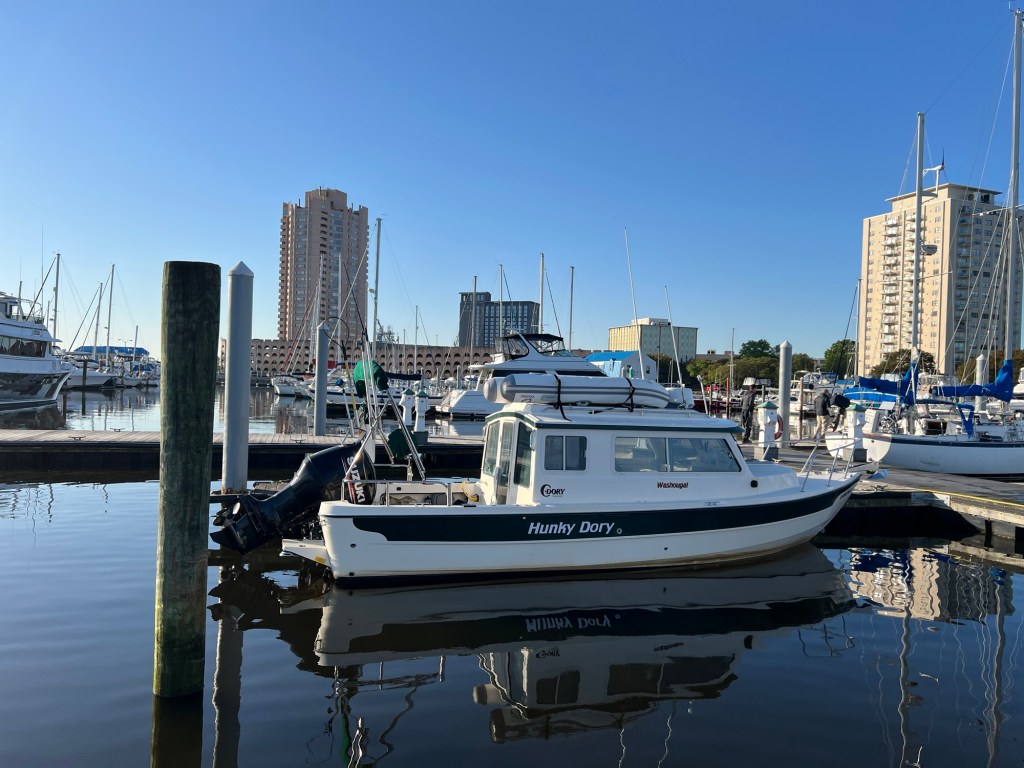
Ending location: Tidewater Yacht Marina, Portsmouth, VA. MM 0 AICW.
Statute miles: Approximately 28
General summary: As the rain had abated and we had some time to kill before check-out, we walked over the lift pedestrian bridge to the state park on the opposite side of the canal and hiked about 3 miles of trail through the forrest. There were dense trees with a section of boardwalk over a swampy area. Lots of educational plaques about local birds, butterflies, animals, foliage. Black bears had nearly been hunted to extinction, but are rebounding. Trees that were over-harvested are growing back. Saw a rusting container and later learned this was from an old moonshine still. The channel has been used for hundreds of years. First by natives to hunt and canoe safely between land areas. Then soldiers used it to hide and surprise the British in battle during the Revolutionary War. George Washington was part of the “Dismal Swamp Company” in his 30s, surveying and managing the land and waterway for benefit of the state of Virginia. It was part of the Underground Railroad around the time of the Civil War. Then it was a hideout for moonshine production during Prohibition. Now, it is a waterway for cruising boats and kayaks.
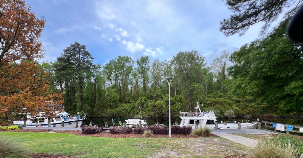


We made it through the North lock by about 3pm and motored on, thankful that we never had any issues with hitting bottom or debris, which the channel is known for. Most larger boats go around by the Outer Banks instead, to avoid this problem, but this is much more open and subject to weather conditions.
As we connected with the Elizabeth River going North, we were held up at a rail road bridge with only a 2 foot clearance for about an hour awaiting two trains to pass, then a section was lifted that we could motor through. Two more low RR bridges remained in the open position and we got to our next marina just before the office closed at 4:30. Interestingly, this turns out to be the same marina my dad stayed in 20 years ago when he did a trip South on the AICW on his sailboat.


Leave a comment